ResearchLandOn the roadmap
Assets on the ground, and the people near them
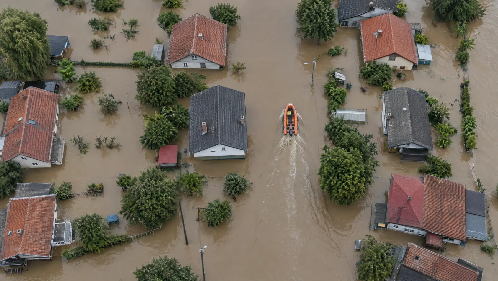
Mines, forests, borders and towns. When floods or fire strike, one picture should serve the business that owns the site and the teams who rescue people.
Sites that cannot be watched by hand
A mine boundary, a forest concession or a remote facility can cover more ground than any team can patrol. Changes happen slowly, and then all at once.
Our approach
The model. Site and hazard watch: boundary change, fire and flood risk, learned around the places a business depends on.
Vamocles is designed to watch land from the air and from orbit: boundaries, tailings, fire risk and the roads that reach a site. When a disaster strikes, the same map becomes a search grid, so every rescue team sees the same picture and the people in danger come first.
The map that protects the asset should also protect the people around it.
Why it matters to businesses
Resource, agriculture, construction and insurance businesses carry land risk directly. Their duty of care extends to the communities near their sites. Doing both from one picture is better for the business and better for the people.
Where this stands
Read more on the Land page.
Published by Vamocles ·
Request a briefing