ResearchOrbitIn development
Reading change from orbit
Satellites photograph the planet again and again. The hard part is noticing what changed and telling the person who can act.
Imagery is not intelligence
There has never been more satellite imagery available. There has also never been more of it that nobody looks at.
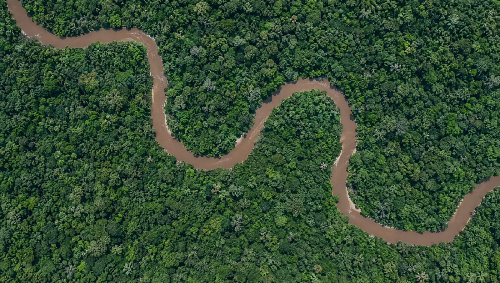
An image becomes useful when it is compared with the last one and something is different: a new clearing in a protected forest, a road cut towards a mine boundary, a flood line moving towards a town.
Our approach
The model. Change detection: pass-over-pass comparison across optical and radar imagery, tuned to the kinds of change that matter at your sites.
Vamocles is designed to read imagery pass after pass, optical and radar, so cloud does not stop the record, and to raise change with location, size and a before-and-after view. Each alert goes to the person responsible for that place, inside the same picture as everything else they watch.
Why it matters to businesses
Supply chains, land holdings, insurance exposure and environmental commitments all have a geography. Knowing early when that geography changes, at a site you own, a supplier you depend on or a region you insure, turns satellites into a business tool rather than a research one.
Where this stands
See the Orbit page for the before-and-after view, or talk to us about a pilot.
Published by Vamocles ·
Request a briefing